Near the end of the pilot project the platform was starting to bog down, but I still had to use the tools myself to prepare the content for transfer to LSU Atlas (which has been the plan all along). So, I decided to take evasive action and incrementally (but significantly) restructure it. This took a while, and though I’m not 100% done with the work, most of the important stuff is done and the preparation/split, georeference, and trim operations are now back to working.
READ MORE →
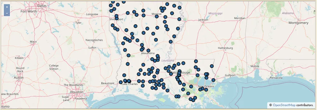
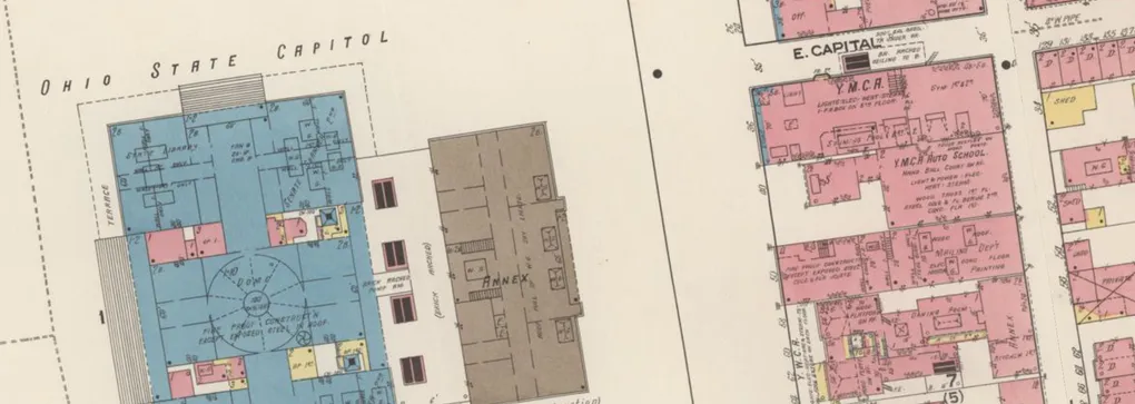
Hello! This blog is a place to publish news and ideas about oldinsurancemaps.net, the platform at the heart of my masters thesis at LSU, “Creating a Public Space for Georeferencing Sanborn Maps”. I have long been a superfan of Sanborn maps, so the project is as much a love letter to them as anything else.
A little bit of context There were two original motivations for this endeavor:
Create a platform for collaborative map georeferencing Provide greater access to existing online map archives Neither of these ideas is new, but I was especially inspired by the idea of the archival commons and wanted to build something with elements of that model in mind—open access, public curation, and extensibility1 2.
READ MORE →